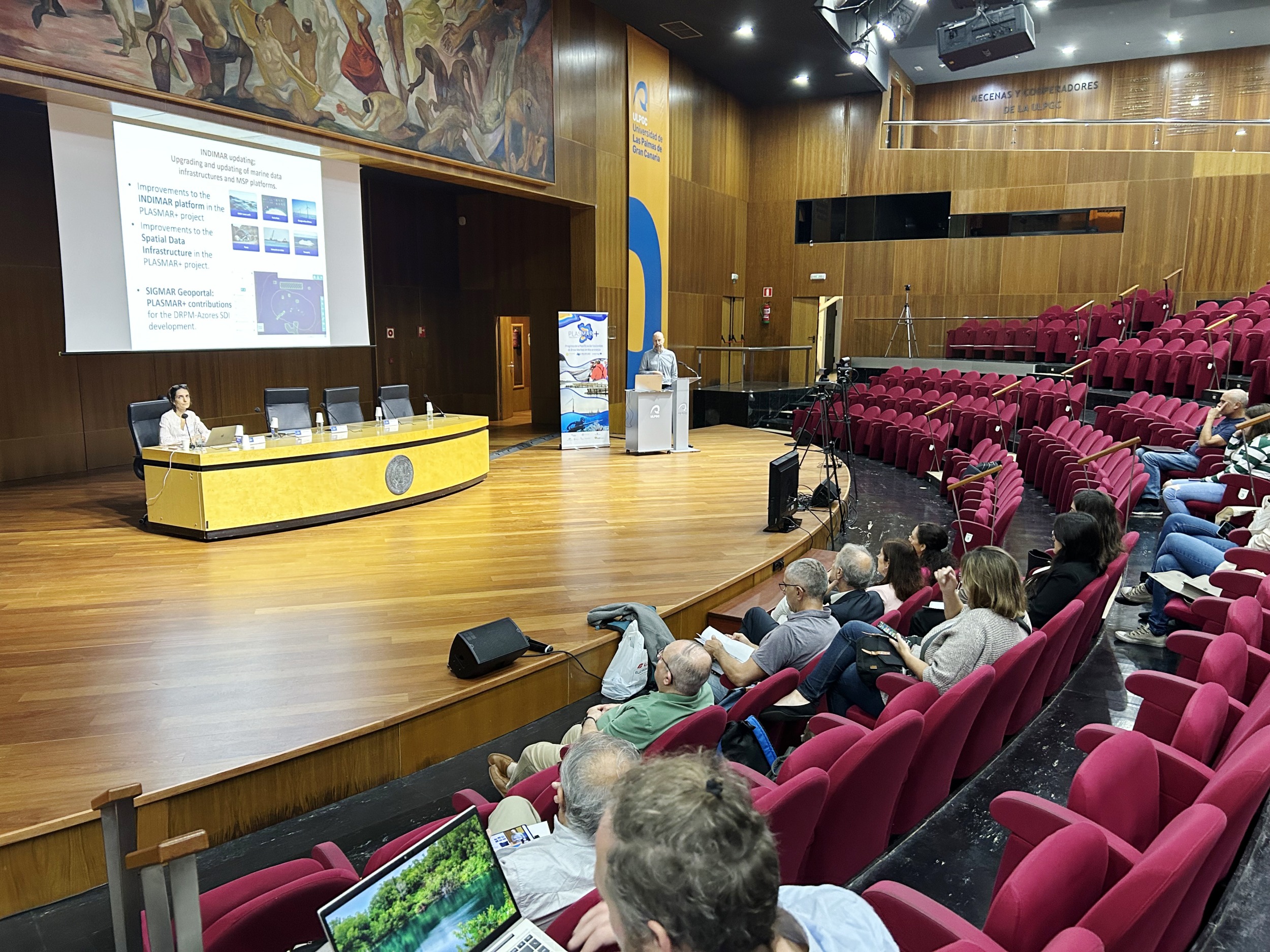
This research has allowed, among other things, the creation of the INDIMAR web tool, which has been extremely useful for the definition of potential areas for offshore wind energy facilities as well as for specifying the most suitable areas for the installation of aquaculture production in the coastal areas of Macaronesia.
The presentation of the main results obtained by the PLASMAR+ project (Progress in the Sustainable Planning of Marine Areas in Macaronesia), in which the ECOAQUA Institute of the University of Las Palmas de Gran Canaria (ULPGC) participates, took place today in the Auditorium of the institutional university headquarters, after an opening ceremony with the presence of Jin Taira, Vice Rector of Internationalization, Mobility and International Projection of the ULPGC; Felix Leinemann, Head of Unit for Blue Economy Sectors, Aquaculture and Maritime Spatial Planning of the European Commission; Mafalda Freitas, Regional Director of the Sea, Government of Madeira; excusing her absence Alexandra Guerreiro, Regional Director of Fisheries of the Government of Azores.
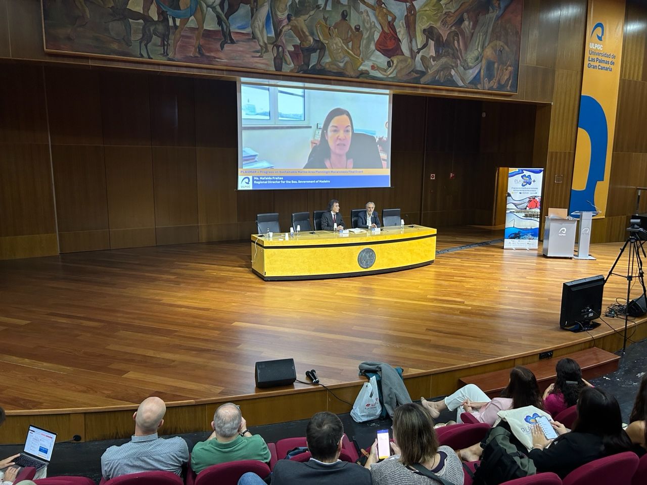 Inauguration of the presentation of results obtained by PLASMAR+
The main goal of this line of research, led by the Biodiversity and Conservation group (BIOCON) of ECOAQUA, has been to support the implementation process of Marine Spatial Planning by developing new tools based on scientific and technological knowledge within the framework of blue growth. “To this end, it has approached various key aspects related to the analysis of the compatibility of maritime activities in the Marine Protected Areas (MPAs), the analysis of the compatibility of offshore wind farms through modeling, and the incorporation of new methodologies and their application to Maritime Spatial Planning (OEM) in Macaronesia”, Ricardo Haroun, director of the ECOAQUA institute, assures.
EXPORTABLE RESULTS TO OTHER MACARONESIAN REGIONS
The PLASMAR+ project (2019-2023), has its origin in the results obtained in the preceding PLASMAR project (2017-2020). Both projects cover different fundamental aspects linked to Maritime Spatial Planning (OEM), from the inventory of the distribution of existing and future activities and uses, to the contribution for maritime spatial planning proposals. These two initiatives have been implemented with the participation of a partnership composed of administrations, public companies and research centers of the Canary Islands, Madeira and Azores regions, and with the support of FEDER Funds through the Territorial Cooperation Program MAC 2014-2020.
During the research carried out, the creation of the INDIMAR web tool was favored, which has been updated and supports decision-making in marine spatial planning, whose main promoter was BIOCON researcher Andrej Abramic, project coordinator, and which is being extremely useful for the potential introduction of renewable marine energy facilities in the marine space from an ecosystemic approach. After being tested in the Canary Islands, the methodology applied in this research has been exported to other archipelagos, to extended coastal systems and to other offshore areas. The interest shown by several Baltic islands and the Estonian government is underlined, which have adapted the program to support their OEM, is noteworthy.
During these years, PLASMAR and PLASMAR+ have also created the large database that today makes up the Geoportal of the ULPGC, which includes all relevant information to support the management of the territorial waters of the Archipelago, and, in parallel, other similar ones are being developed in the Azores (SIGMAR) and Madeira.
In addition, the project has established guidelines for the elaboration of marine environmental impact studies of the different economic activities, which have generated innovative monitoring programs that have been successfully incorporated into the maritime sectors and Marine Protected areas, facilitating the identification of propagation vectors, progress in the knowledge of AMPs and marine habitats. This new methodology of Environmental Impact Assesment (EIA), has favored the biological, economic and social evaluation of recreational fisheries in Macaronesia.
For more information: Beatriz Díaz / beatriz@mandarinacomunicacion.es / 620410871